Drone Survey vs Traditional Survey: Which One Fits the Brief?
A decision-making comparison showing when drone capture helps, when ground-based methods still win, and how to choose the right survey scope.
Read more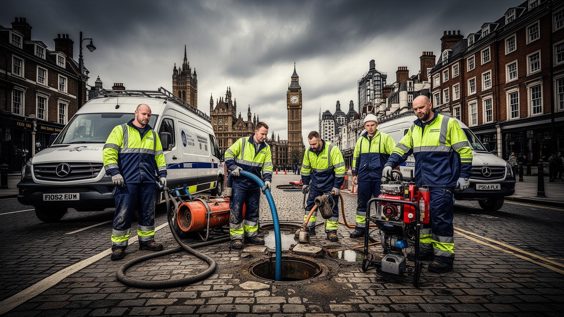
We provide topographical, measured building, utility and drone surveys for planning, design and construction decisions.
Support is built for architects, developers and property owners across London, the South East and surrounding UK locations.
Tell us about your project.
No obligation · Free survey quote
Select the issue below to get matched with a specialist near you.
Call when a neighbour challenge, sale process, extension design, or legal correspondence raises uncertainty around…
Call before excavation, drainage installation, piling, or service diversions.
Call when cracks are widening, floor levels appear to shift, or an engineer requests verified measurements before…
Call when planning consultants request measured site information, when pre-app feedback flags missing technical…
Call before groundworks, extensions, or utility coordination where drainage unknowns could create clashes, rework, or…
Call when a purchase is conditional on further technical evidence, when legal advisors request site clarity, or when…
From early feasibility through delivery, we provide survey outputs for planning applications, design coordination and construction control. Typical work includes boundary checks, utility risk mapping and measured surveys for extensions, redevelopments and commercial sites.
Detailed property inspections to assess condition, risks, and required works.
Professional advice and notices for works affecting shared walls and neighbouring properties.
Detailed land surveys showing existing ground levels, features and boundaries.
Rapid aerial surveys for sites, roofs and structures using UAVs.
Accurate internal and external measurements of existing buildings.
Detection and mapping of underground services before excavation.
For detailed site intelligence and boundary clarity, these specialist survey methods complement our core offering.
Accurate surveys and deliverables suitable for design and approval.
Land, utility, measured building and drone capture under one roof.
The right technique for your site, brief and output format.
Clear milestones from brief through capture to delivery.
CAD, point clouds, BIM-ready data and reports as required.
Support for developments and infrastructure projects nationwide.
Recent survey work across the UK
These examples show recent survey projects across different property types, from planning-led reports to construction support surveys.
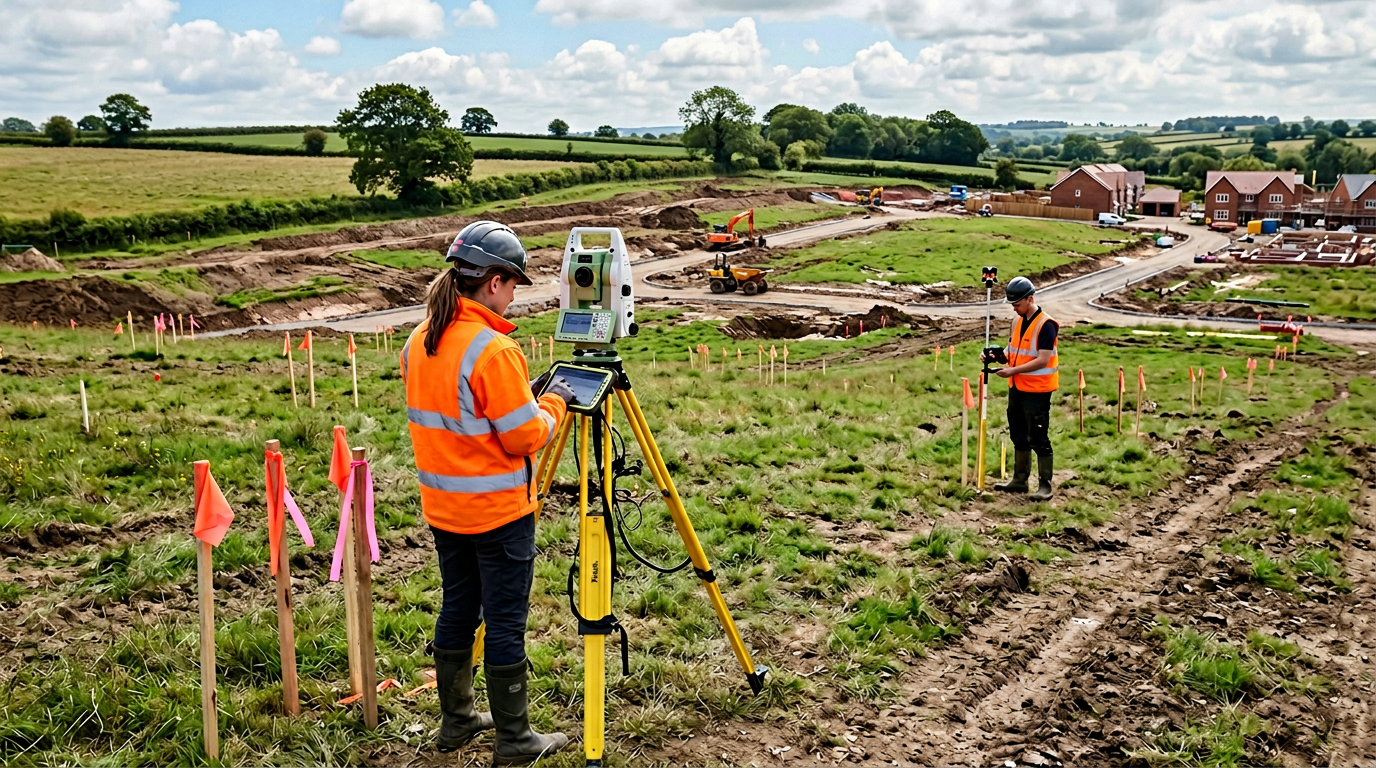
Topographical Survey · London
This London survey job covered a mixed-use redevelopment plot where the design team needed a planning-ready topographical base without disrupting the live city-centre access route.
View Project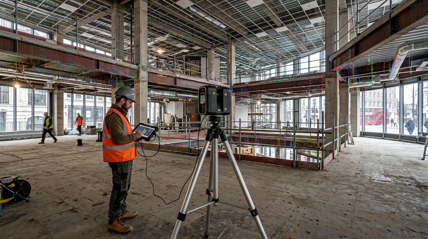
Measured Building Survey · Richmond
We surveyed this Richmond conversion ahead of internal reconfiguration works where the architect needed reliable as-built information from an occupied split-level property.
View Project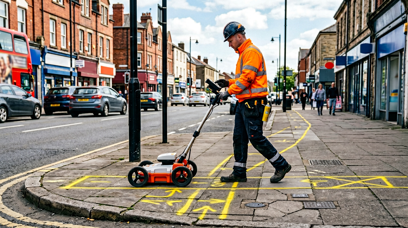
Utility Survey · Chiswick
This Chiswick survey was commissioned before extension groundworks where the contractor needed buried services traced before any excavation started in the rear garden.
View Project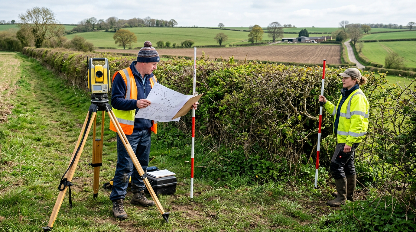
Utility Mapping Survey · Wimbledon
We mapped services across this Wimbledon school site before phased refurbishment where the works team needed reliable underground information without disrupting term-time use.
View Project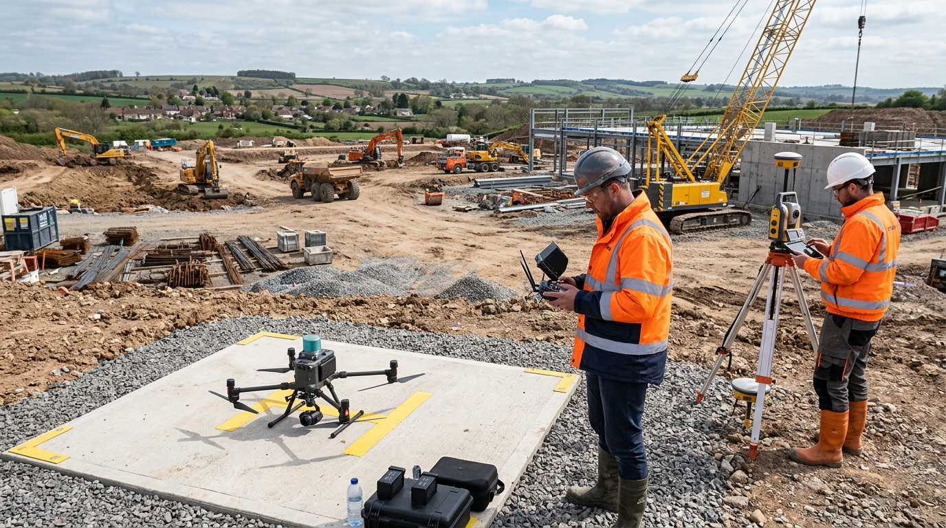
Boundary Survey · Kingston
This Kingston boundary survey was needed before fencing and extension planning where the owner needed a clear measured position of the rear boundary line.
View Project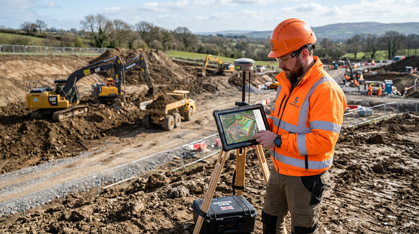
Laser Scanning Survey · Fulham
We scanned this Fulham commercial unit before fit-out where the design team needed dependable internal geometry for MEP coordination inside a live shell-and-core environment.
View ProjectPractical guides and articles from our team.
A decision-making comparison showing when drone capture helps, when ground-based methods still win, and how to choose the right survey scope.
Read moreA cost-led article explaining which site factors widen survey quotes and why headline rates rarely tell the full story.
Read moreAn explanatory article showing why planning teams often need more than one type of survey before a scheme can move forward cleanly.
Read moreDon't just take our word for it – hear from some of our satisfied clients.
The topographical survey was delivered on time and the CAD drawings fitted straight into our design workflow. Clear, professional and exactly what we needed for planning.
We use Mainline Surveys for measured building and drone surveys across our development portfolio. Reliable data, clear pricing and no surprises on site.
Booked a drone survey for our extension project. The orthophoto and levels were spot-on and saved us a lot of design time. Would recommend.