What the decision depends on
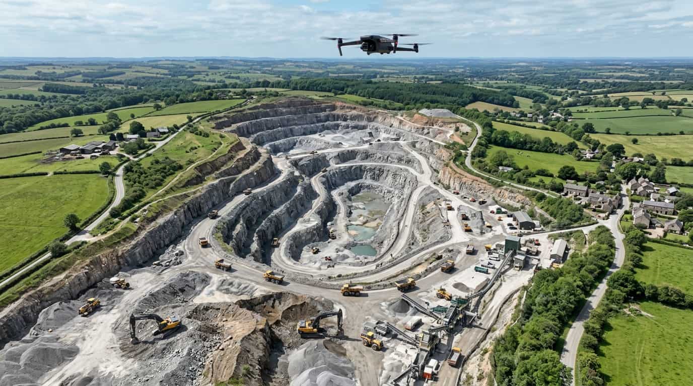
The Fulham example makes the boundary clear: drone capture is valuable where coverage, roof access, or broader external context is the question. It does not replace dense internal capture when the problem sits inside the unit geometry. A common example is a commercial unit undergoing fit-out where complex internal geometry before mep coordination and the next decision has to be made around overnight possession only and live shell-and-core environment.
Used properly, this kind of example clarifies the decision without turning the whole article into a single case study.
Where one route fits better than another
Because the coordination risk was internal, laser scanning stayed the core method. Drone capture would have produced interesting external context, but it would not have solved the MEP coordination issue the fit-out team actually faced. For a local route, start with Laser Scanning Survey in Fulham.
The practical value is in checking the issue against the real site conditions instead of relying on generic assumptions about the service or scope.
How to choose the right scope
The result was a survey scope matched to the real risk rather than a broader package built around the method with the most visual appeal. The aim is to make the next decision clearer before time, cost, or disruption widen unnecessarily.
That usually means confirming whether the issue needs a survey, a repair route, a tighter scope, or a more informed quote.
If this article matches what you are seeing on site, the next step is a scoped quote based on the actual issue rather than guesswork.
Get a survey quoteRelated services and guides
This kind of comparison is useful when teams are deciding between survey methods and need to stay anchored to the design problem rather than the capture technology. If you need a local service page, start with Laser Scanning Survey in Fulham. For the same area, the most relevant supporting pages are drone survey in Fulham, measured building survey in Fulham.
For broader reading, use when drone surveys are actually worth using. If you want to compare it with a live job, laser scanning for Fulham commercial fit-out shows how the issue played out on site.
If this article matches the issue you are planning around, the next step is a scoped quote that reflects the real site constraints and the right service route.
Get a survey quote