What the decision depends on
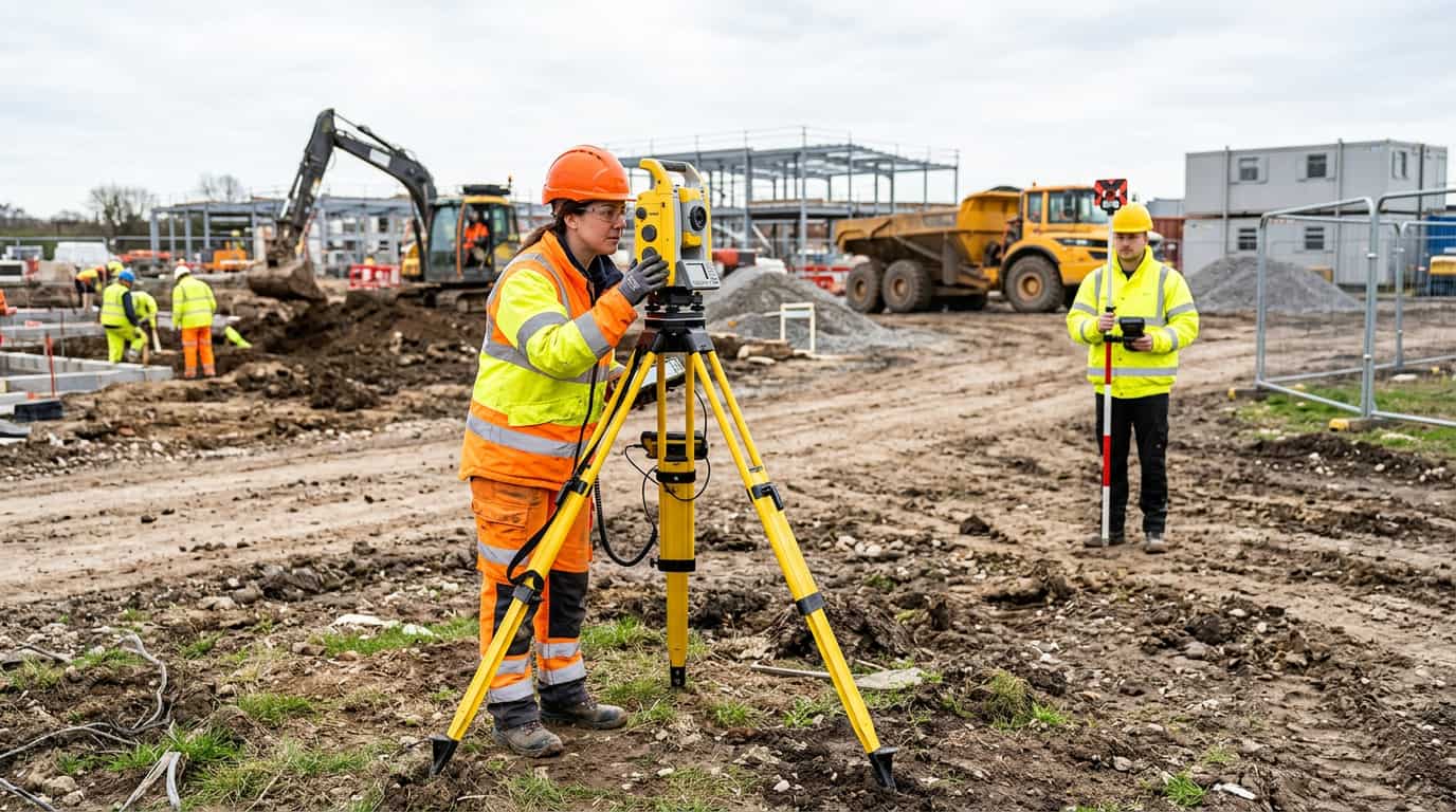
The decision point on a site like this is whether the design team can safely progress from existing plans and desktop information, or whether the missing site detail is already a programme risk. A common example is a mixed-use redevelopment plot where planning and early design moving ahead without reliable site levels and the next decision has to be made around shared contractor access and city-centre traffic controls.
Used properly, this kind of example clarifies the decision without turning the whole article into a single case study.
Where one route fits better than another
On this London plot, the practical answer was to survey before the planning set hardened. That allowed levels, drainage features, and site boundaries to be captured in a way the design team could actually use. For a local route, start with Topographical Survey in London.
The practical value is in checking the issue against the real site conditions instead of relying on generic assumptions about the service or scope.
How to choose the right scope
The survey changed the quality of the design information, which is why the decision mattered. It replaced assumptions with a base the planning and coordination teams could rely on. The aim is to make the next decision clearer before time, cost, or disruption widen unnecessarily.
That usually means confirming whether the issue needs a survey, a repair route, a tighter scope, or a more informed quote.
If this article matches what you are seeing on site, the next step is a scoped quote based on the actual issue rather than guesswork.
Speak to a surveyorRelated services and guides
Topographical surveys are usually worth commissioning when planning, extension, or redevelopment work depends on actual levels, site features, and drainage layout rather than generalised record information. If you need a local service page, start with Topographical Survey in London. For the same area, the most relevant supporting pages are utility survey in London, measured building survey in London.
For broader reading, use what survey is needed for planning permission. If you want to compare it with a live job, topographical survey for constrained city-centre redevelopment site shows how the issue played out on site.
If this article matches the issue you are planning around, the next step is a scoped quote that reflects the real site constraints and the right service route.
Speak to a surveyor